Atlantic Canada — Meteorologists are predicting that after several dry stretches already this summer, Maritimers can hope for more much-needed showers this weekend.
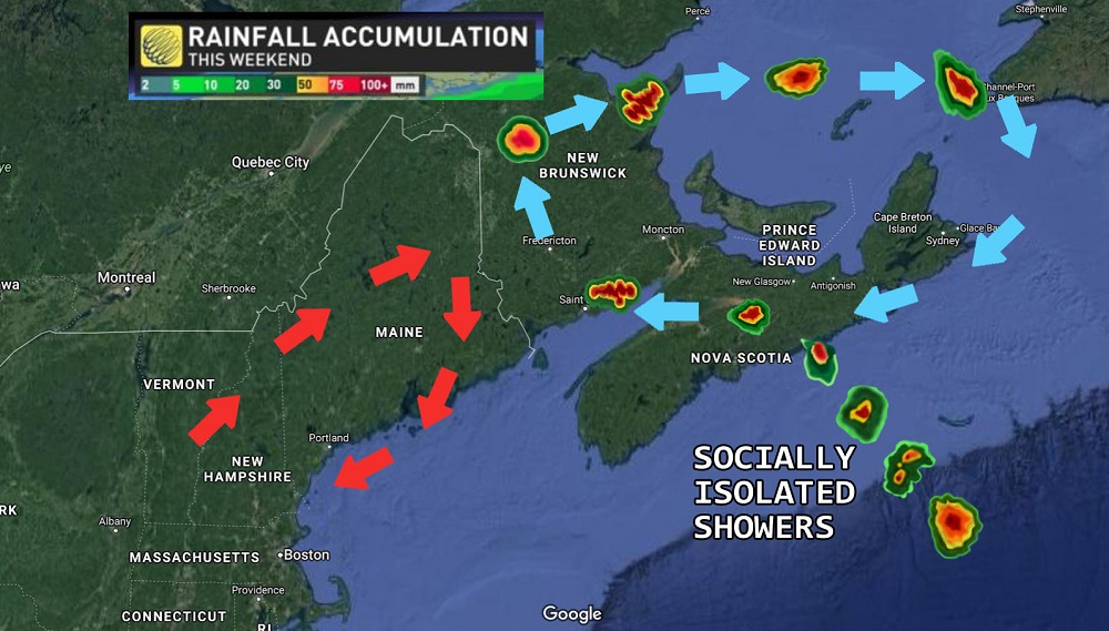
In line with the trend of unusual natural phenomena in 2020, the rain will arrive in what forecasters are calling “socially isolated showers.” Beginning Friday, several self-contained weather systems will arrive in single file, spaced no less than two kilometres apart.
While this weather pattern is atypical, media outlets are celebrating the unique milestone of finally getting coronavirus into every last freaking facet of the news.
One weather system will not begin to precipitate until the system ahead of it has cleared. Cirrus clouds will remain scattered throughout open skies, while cumulus clouds will not be permitted to accumulate until further notice. This new precipitation is expected to end over the weekend and remain underground for 14 days before evaporating.
Low pressure systems originating within the Atlantic Canadian provinces continue to circulate freely within the region. High pressure systems moving in from the American eastern seaboard will be diverted into a holding pattern over the coast until at least August by means of the giant red arrows imposed on the weather map.
If you are experiencing wet hair or clothing, experts recommend staying home until you are dry. Residents who must travel outside their homes are advised that they may wear an umbrella hat, if they choose. Umbrella hats are shown to lead to a decrease in water droplets on one’s head and face; however, they are not proven to be effective against high wind conditions and also make people look ridiculous.